Turnkey Surveying
& Mapping Equipment

Tersus empowers users who have been dreaming of being “Born to Fly” with high-precision GNSS RTK solutions. From unmanned aerial vehicles (UAVs) that need centimeter-positioning accuracy in dynamic mode, to drone delivery or aerial-survey that require stable performance over long durations, we design and manufacture lightweight, smart, and precise RTK modules that enable large-scale drone deployment in a cost-efficient way.
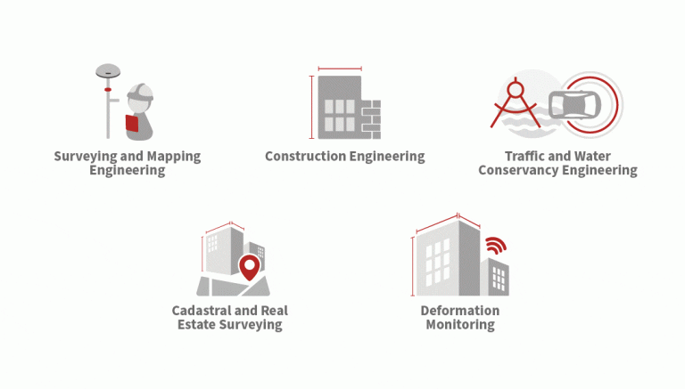
Tersus is constantly working to make each surveying task easier and more productive by providing high-quality GNSS RTK surveying equipment. Our focus is on enabling surveying professionals make data collection more convenient, post (data collection) processing more accurate, and better equipping them to do surveying in the field. Where there is a need for better surveying tools, we are there.


